Session
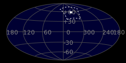
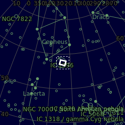
Displayed is the area of sky where the scope is currently pointed :
Sky Map
All Sky Cam
Devices
The current status of the devices used to capture the images are shown below. Hover your mouse over rows in the Status column to view more info about the state of the device.
Attached Devices
| DEVICE | STATUS | INFO | POWER |
|---|---|---|---|
|
|
|
Power Box
| Sensors | Consumption | Dew |
|---|---|---|
|
|
|
|
![]()

| Name | Version | Date |
|---|---|---|
Last updated:
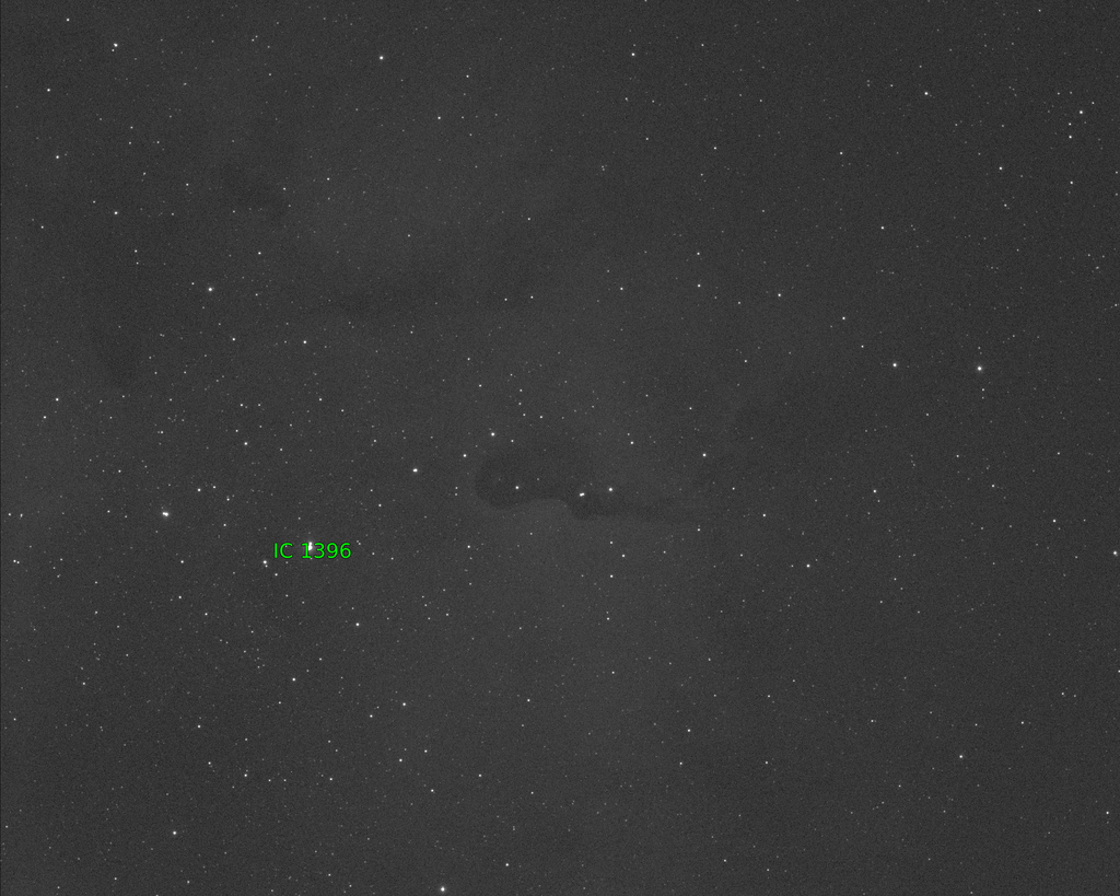
Image
The last successfully captured sub should be displayed below along with data from the FITS header :


| Observation Date | |
|---|---|
| Object | |
| Object (RA, Dec) | |
| Object RA (hms) | |
| Object Dec (dms) | |
| Object Altitude (°) | |
| SQM (mag./arc sec2) | |
| Average AirMass | |
| Humidity (%) | |
| Dew Point (°C) | |
| Ambient Temp (°C) | |
| Sensor Angle (°) | |
| Sensor Setpoint (°C) | |
| Sensor Binning | |
| arc sec/pixel | |
| Focal Length (mm) | |
| Filter | |
| Exposure (secs) | |
| Profile | |
| Creator |

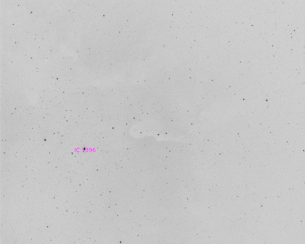
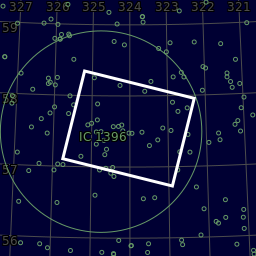
Annotated
The last successfully plate solved and annotated version should be displayed below.

Conditions
![]()
| Reading | |
|---|---|
| MSAS | |
| Max MSAS | |
| Max NELM | |
| Max Bortle |
Weather
About
This project aims to show the state and image capture of the current or last astroimaging session. The data capture and processing was performed by GingerGeeks and the web based front end was created in cooperation with Neil Munday.
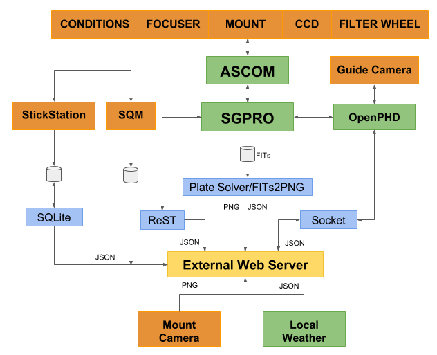
The following software is used locally to capture, process and format the raw astrophotography data :
The following Python modules are used for processing, communication and transfer of data :
The following software is used to create the interface on the public web server :